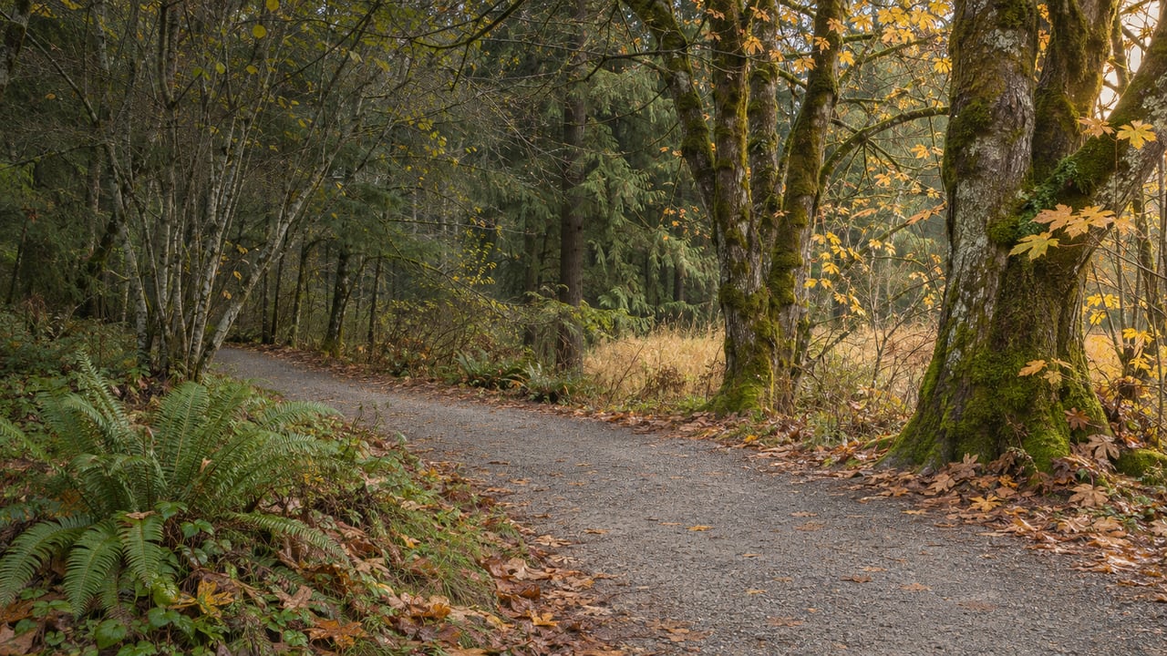
When was the last time you walked the Whitehorse Trail starting from Arlington? The trail starts at its junction with the Centennial Trail, just north of Haller Park, and runs more than 27 miles up the North Fork Stillaguamish valley to Darrington. Since March 2018, though, the first 2.6 miles out of town have been closed.
On Oct. 5, 2026, a Snohomish County contractor started work on that missing stretch. When it reopens, which the county expects in spring 2027, you'll be able to walk onto the Whitehorse from downtown Arlington for the first time in more than eight and a half years. Until then, the Whitehorse is mostly a trail you drive to, and Arlington's in-town walking happens elsewhere.
The Stretch Was Months Away From Opening When the Hillside Moved
On March 20, 2018, Snohomish County Parks posted a short notice saying it was closing 2.6 miles of the trail "indefinitely." Here is the key line from the county's 2018 closure notice:
"Snohomish County Parks will be closing 2.6 miles of the Whitehorse Regional Trail indefinitely due to significant earth movement approximately 1 mile east of its junction with the Centennial Trail in Arlington. The trail was scheduled to be resurfaced and officially opened this fall."
The same notice said the resurfacing grant money would go to a different part of the trail. Its first rough estimate called for repairing and reinforcing about 1,400 feet of trail and embankment.
Over the next two years the problem got bigger. In its 2020 grant application to the state Recreation and Conservation Office, the county described two landslides and a bank washout along the Stillaguamish. The closed stretch ran from the Centennial junction to Tin Bridge, just west of the Trafton Trailhead. By then, 22 miles of the Whitehorse farther east had been resurfaced in recent years. The newest part of the trail sat at the far end, and the town end, where the trail starts, was the part closed.
The repair request was $1,050,000 from the state's Washington Wildlife and Recreation Program, and the county committed more than $1 million of its own. The design in that application was a gravel trail 12 feet wide with 2-foot soft shoulders, narrowing to 10 feet with no shoulders at water crossings.
What Earthwork Solutions Is Building Through Spring
Snohomish County Parks gave the construction contract to Earthwork Solutions, LLC. In its September 24, 2026 project update, the county calls this Phase 3, the work meant to "complete the gaps in the trail corridor and connect the Whitehorse Trail to the Centennial Trail." The update lists three pieces of work:
- Stabilizing the landslide at the west end of the trail, the Arlington end.
- Resurfacing the first three miles.
- Rerouting the trail around a bank failure near 435th Avenue, west of Darrington.
The resurfacing part was put out to bid in June 2026 under the name "Whitehorse Trail Improvements MP 0.00 to 2.63." The bid notice describes resurfacing from Arlington at milepost 0.0 to Bridge 701 at milepost 2.63, and lists erosion control, clearing, grading, geotextile fabric, compacted base and top course, and seeding. The county's pre-bid estimate for that scope was $1,017,620.17. Those 2.63 miles line up almost exactly with the 2.6-mile closure from 2018.
During construction, the section between the Centennial Trail and Bridge 701 is fully closed to the public. The county's update says that if money is left over after the gaps are fixed, it may add signs or trailhead improvements along the corridor. The Everett Herald reported the start of construction on Oct. 6 and cited a City of Arlington release putting the end of work in spring 2027.
The Whitehorse You Can Reach This Winter Is Short
With the Arlington end closed, the nearest way onto the Whitehorse is the Trafton Trailhead at 26703 115th Ave. NE, about four highway miles east of town. That gets you onto the trail, but not far.
On Dec. 15, 2025, the county closed the trail about 1.7 miles east of Trafton after river flooding washed out part of it and eroded the bank. The closure is fenced, and the county says there is no detour. As of the county's closures list, last updated Nov. 3, 2026, the Whitehorse has four separate closures:
| Section | Why it's closed | What's happening |
|---|---|---|
| Centennial Trail junction to Bridge 701 | 2018 landslides and bank washout | Phase 3 construction, Oct. 5, 2026 to spring 2027 |
| About 1.7 miles east of Trafton Trailhead | Washout and bank erosion from river flooding | Fenced, no detour, closed since Dec. 15, 2025 |
| French Creek bridge, about five miles west of Darrington | Closed for safety | Listed as an ongoing closure |
| Near 435th Avenue, just west of Darrington | Bank failure | Reroute included in Phase 3 |
This winter, an out-and-back from Trafton tops out at about 3.4 miles round trip. Walkers and riders from Arlington have been driving out to a trail that, on the map, starts in their own town.
Where Arlington's Trail Miles Are Until Spring
The trail time the Whitehorse would normally get from town goes to routes inside city limits. Several of them reach the Stillaguamish, and the Centennial runs right past the closed junction.
- Centennial Trail through downtown. The City of Arlington's parks guide describes it as a 30-mile paved trail from Snohomish to the Skagit County line. In town it has public art, restrooms at Legion Park on North Olympic Avenue and at Haller Park, and the Whitehorse junction just north of Haller. Lebanon Park, at 105 Lebanon Ave., sits right on the Centennial and has a labyrinth and other art pieces.
- Haller Park and Stormwater Wetland Park. Haller Park, at 1100 West Ave., has river access, trails, and connections to the Centennial Trail and to the Eagle Trail at Stormwater Wetland Park. You get to Stormwater Wetland Park on foot only, by the drive west of Haller Park that runs under the bridge. Its nature trails go through a wetland built to filter stormwater from Old Town Arlington, and it has a covered shelter and a fenced dog area.
- Arlington Airport Trail. A 6-mile loop with paved and unpaved sections. You can park on Airport Boulevard or at the Airport Office, 18204 59th Ave. NE.
- Country Charm Park. This used to be the Country Charm Dairy. The city bought it in 2010, and it now has 100 acres of open space, including 40 acres of riparian habitat. You walk in from the parking lot at the east end of Gilman Street. Dogs must be on a leash, and horses are not allowed.
- Twin Rivers Park. A county park at 8002 State Route 530 with open fields, a disc golf course, walking paths, and access to the Stillaguamish River.
- Portage Creek Wildlife Area. A 157-acre wildlife reserve at 20802 59th Ave. NE with two short trails along a stream and through meadows. On its park page, the county warns that the trails get very wet and muddy, that you may need waders for parts of the wetland trails, and that some areas aren't maintained. Dogs are not allowed, and the Cemetery Road entrance is closed.
If you're heading to River Meadows this season, the county has closed the day-use restrooms there for winterization. Conditions at all of these parks can change through the winter, and the county's alerts page has the current closures.
Two Saturdays Left on Olympic Avenue
A downtown loop on the Centennial lands close to the last two Arlington Farmers Market days of 2026. The Stilly Valley Chamber's Arlington Farmers Market listing has markets on Nov. 28 and Dec. 5, 2026, from 10 a.m. to 2 p.m. at 404 N. Olympic Ave. The Dec. 5 market ends a season that started Feb. 7 and ran 25 sessions.
The city's event calendar also lists the Two Girls Downtown Makers Market at its Innovation Center Pop Up on Nov. 27 and 28, so the Saturday after Thanksgiving has both markets. A walk on the Centennial between Haller Park and Legion Park starts just south of the closed junction with the Whitehorse. The next time the farmers market season starts up, that junction should be open again.
If your plans are tied to what's happening around the trail, whether that means staying put, selling, or buying near the Stillaguamish, The WC Group can tell you what the reconnection might mean for your corner of Arlington. You can start with a free home valuation.